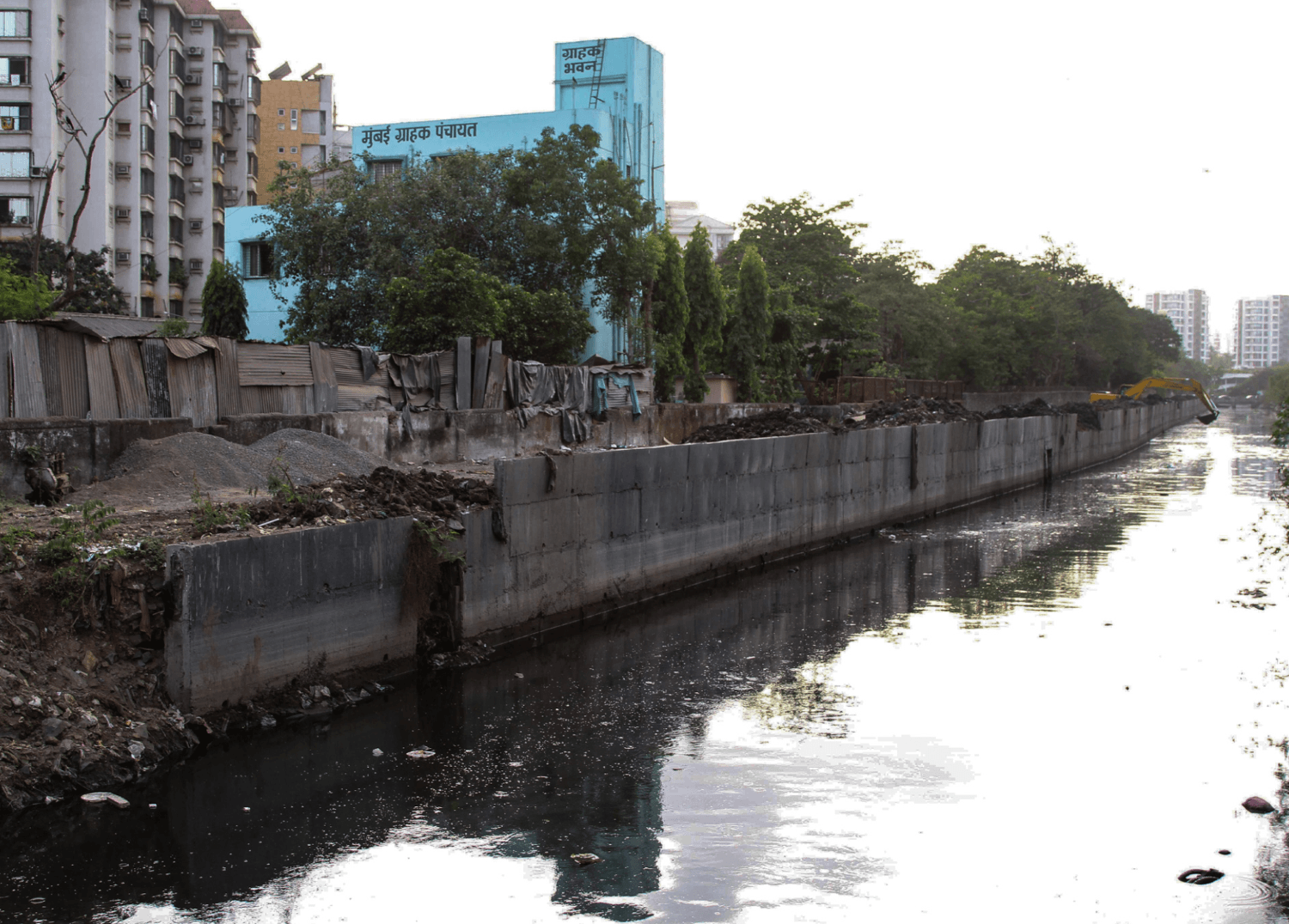
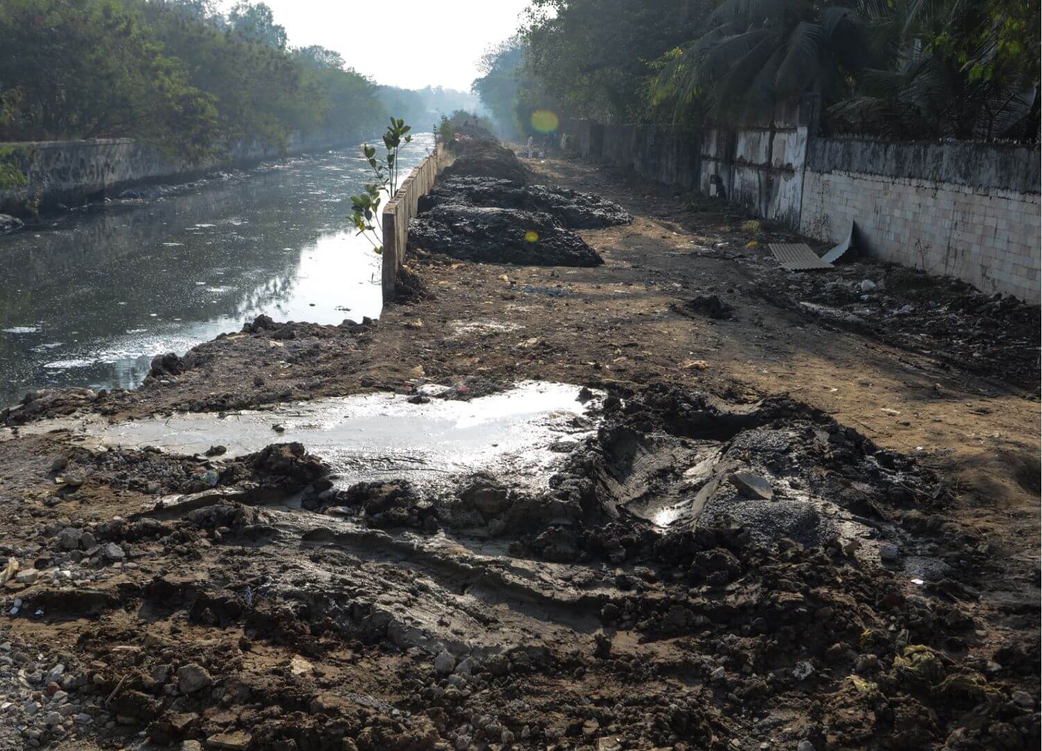
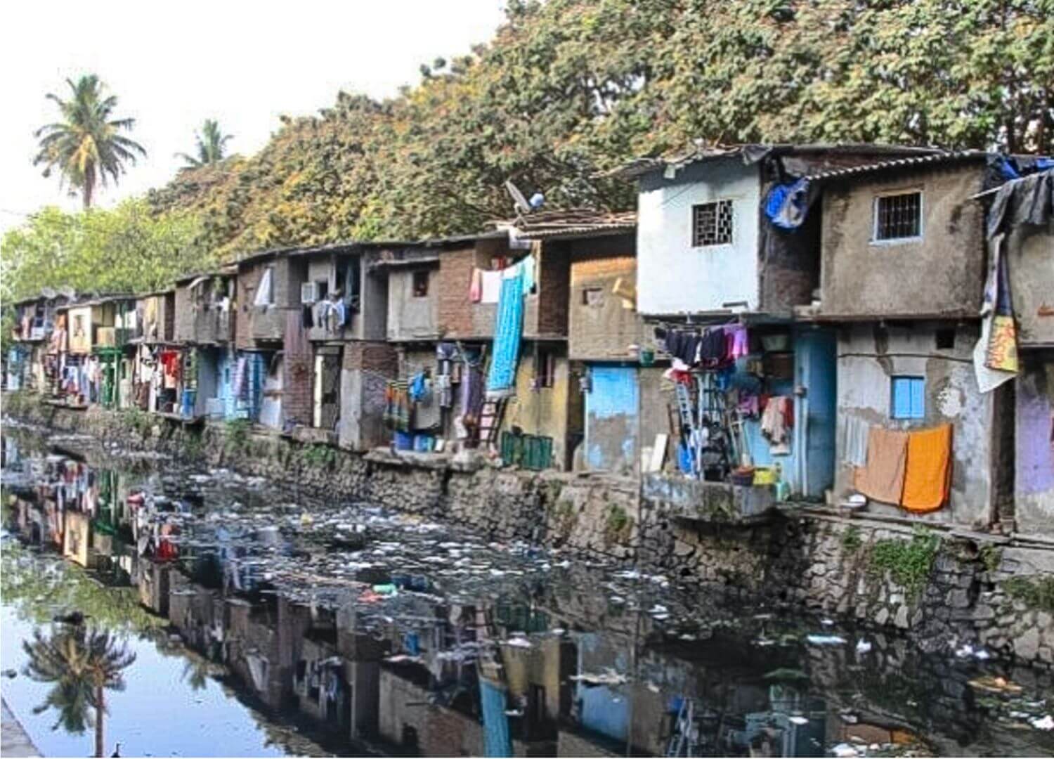
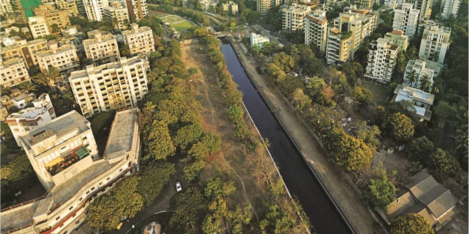
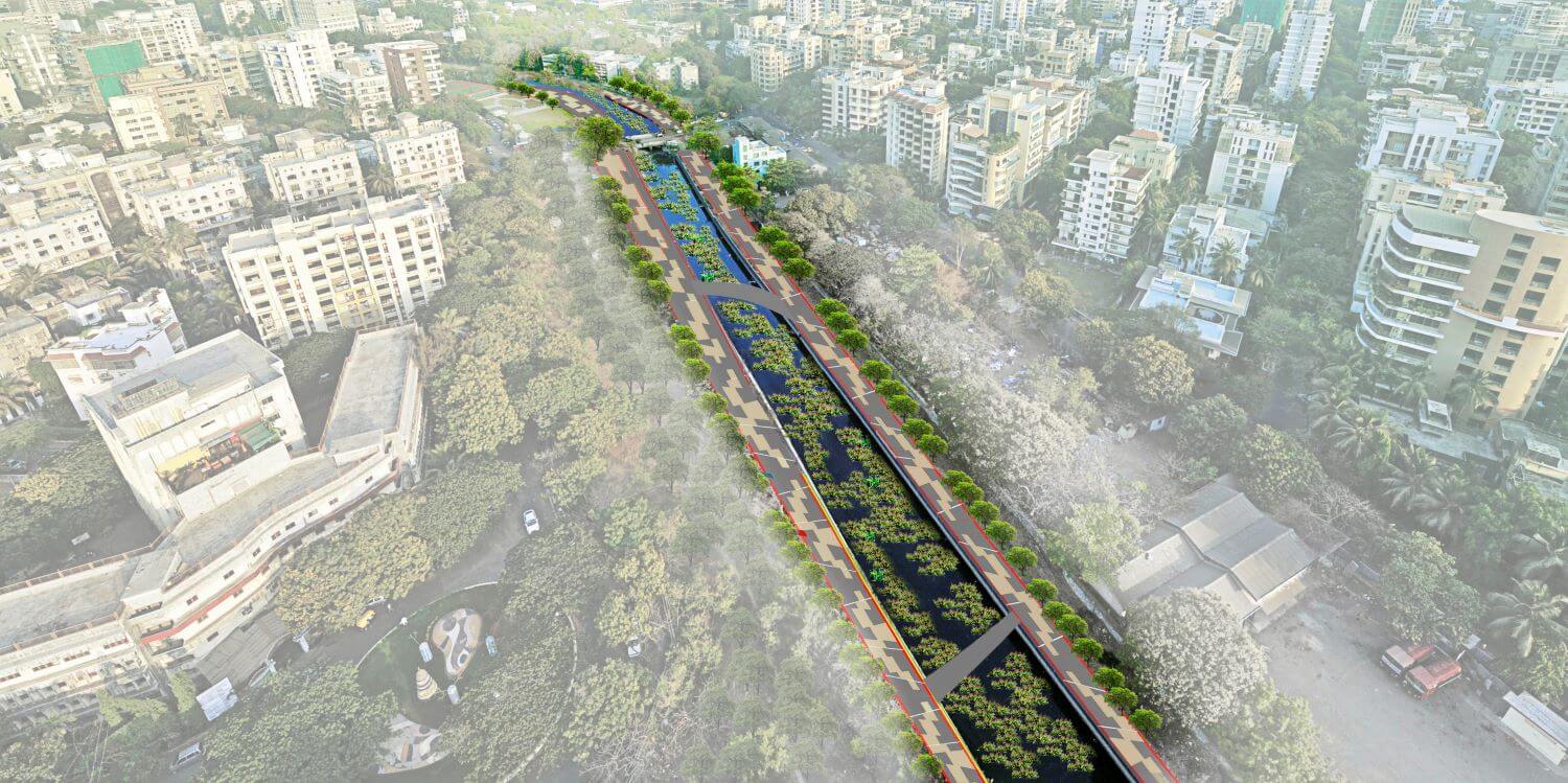
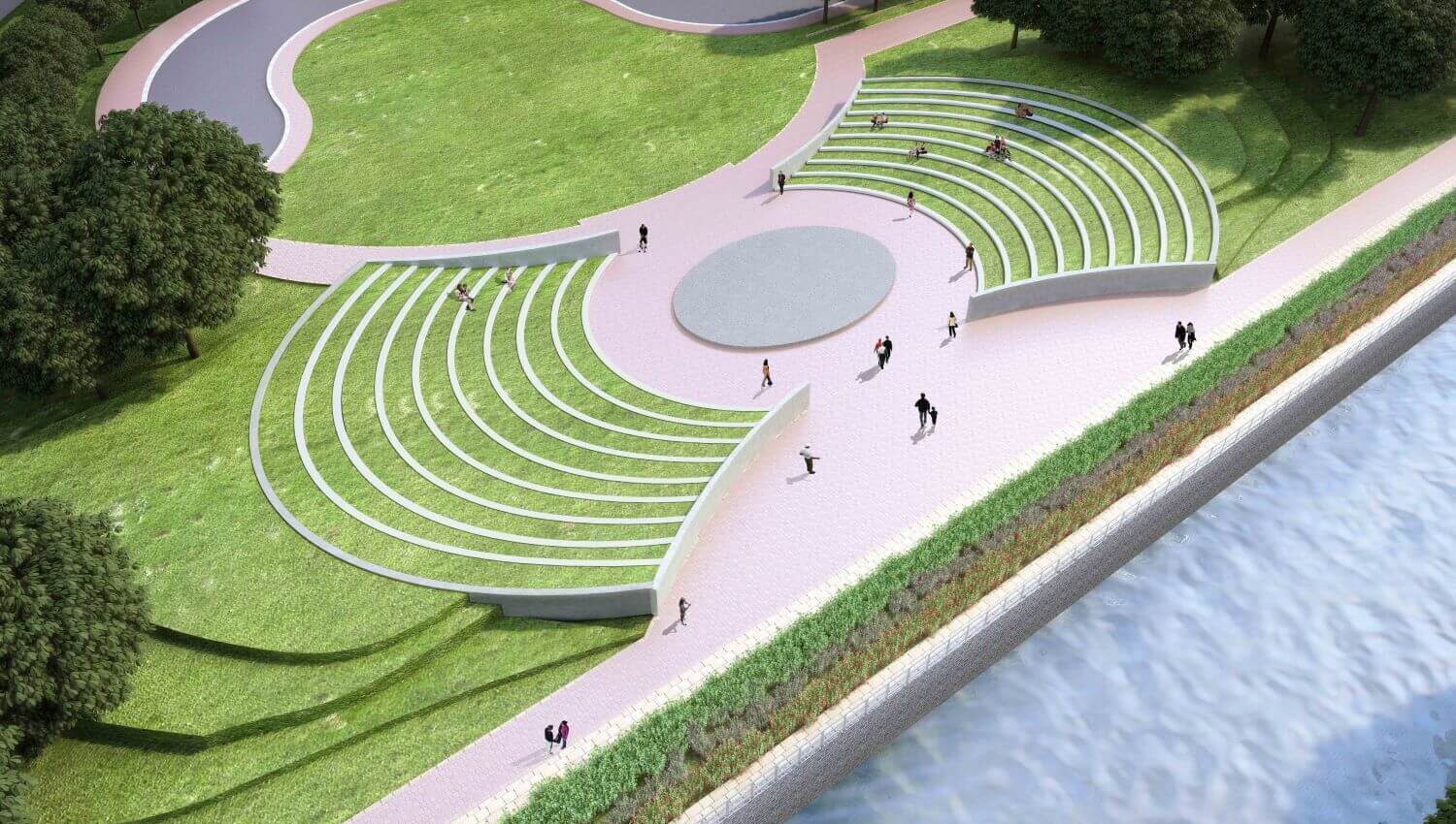
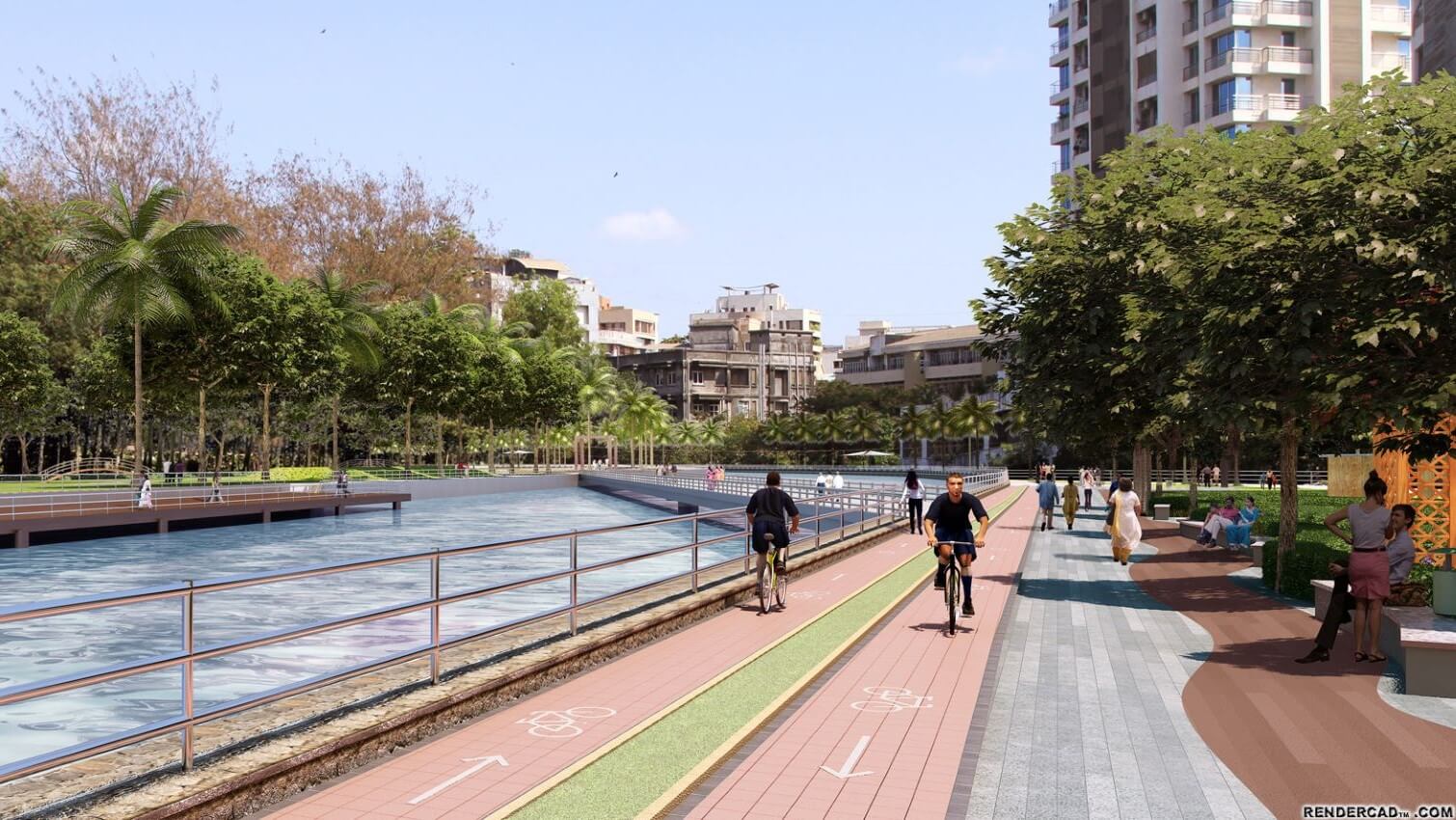
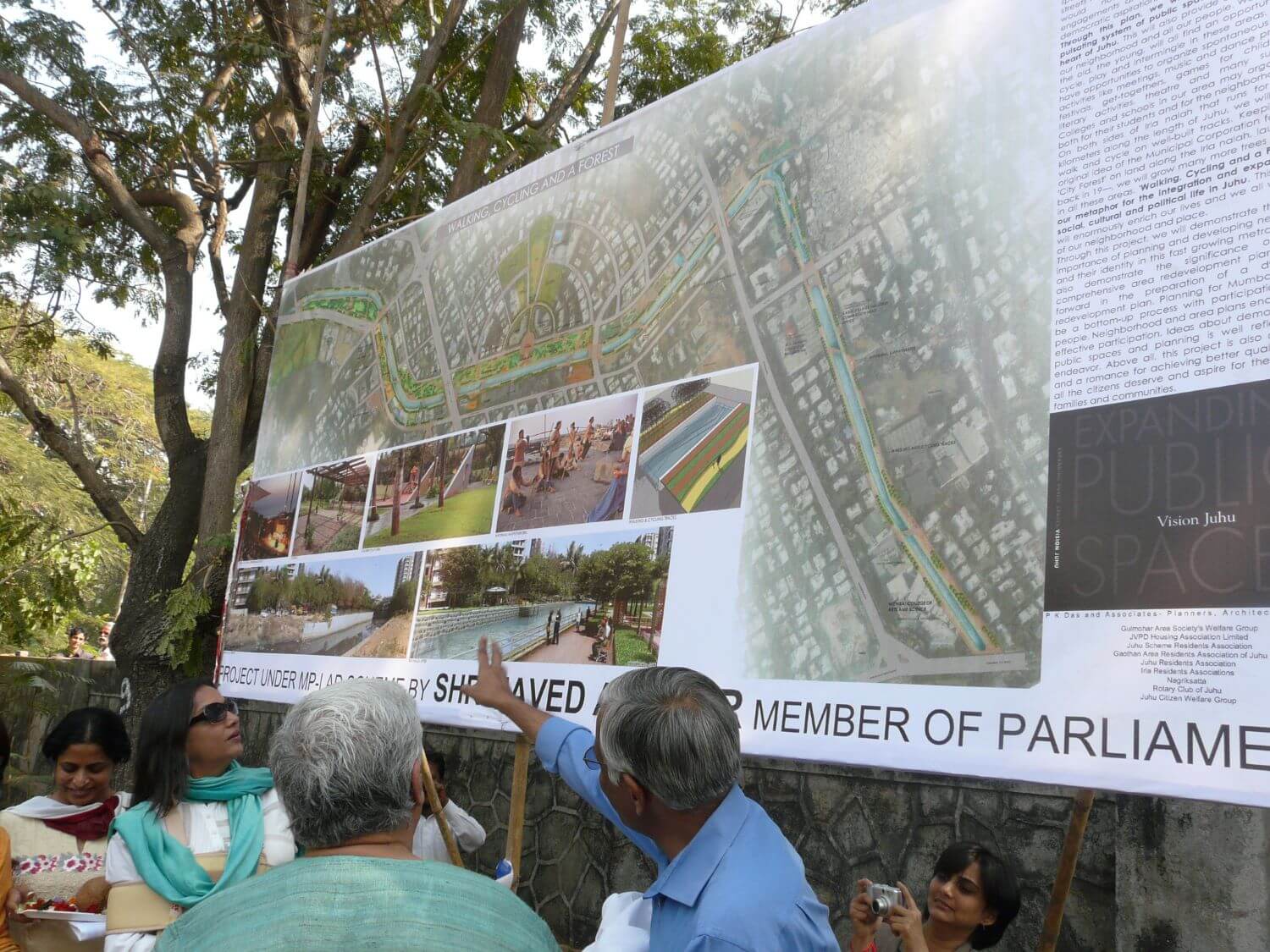
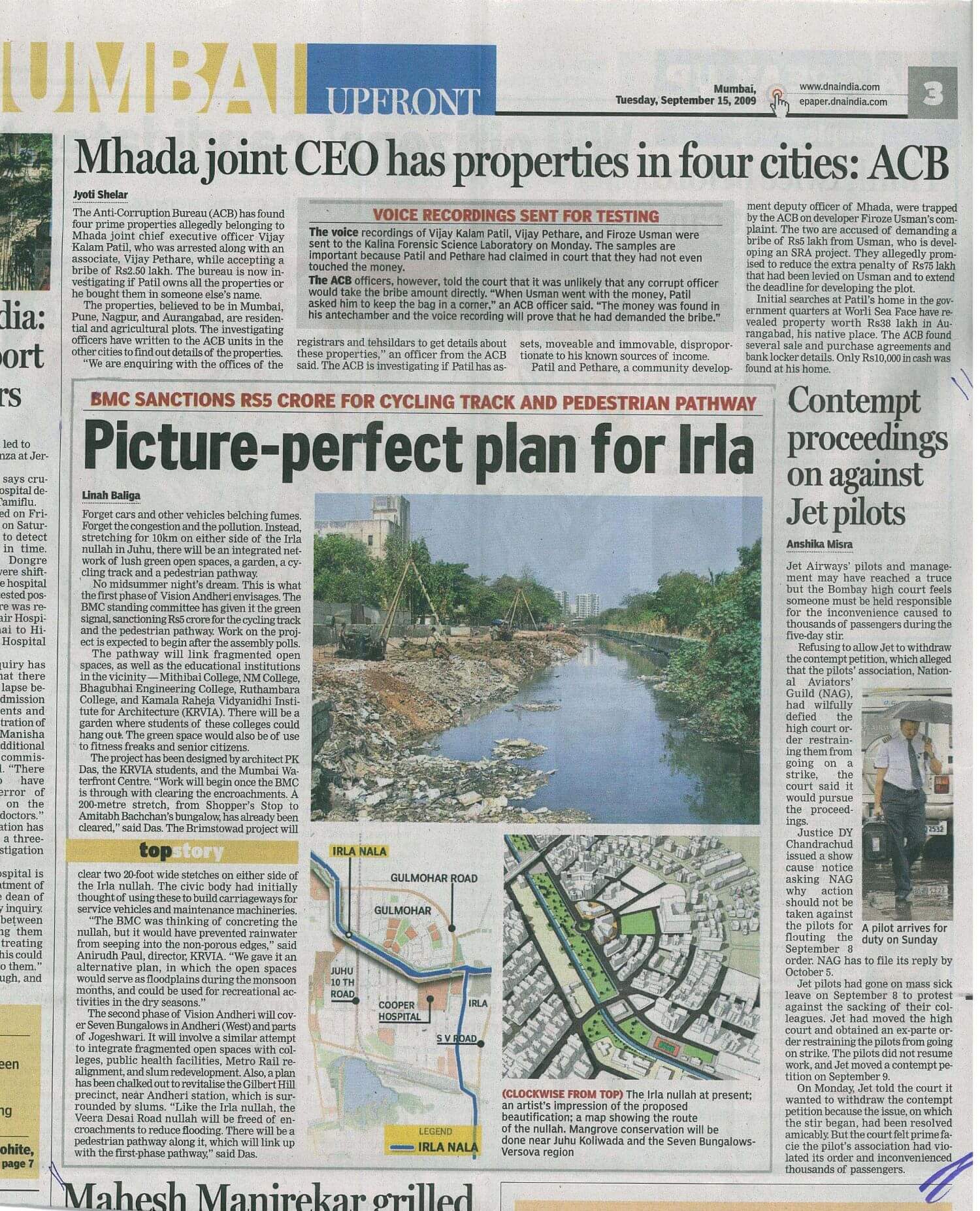
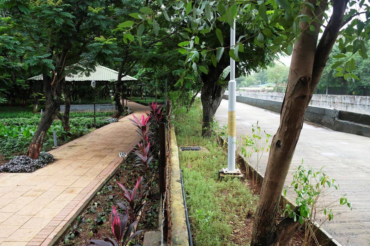
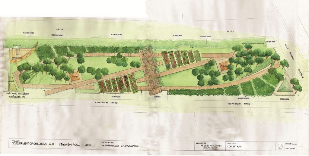
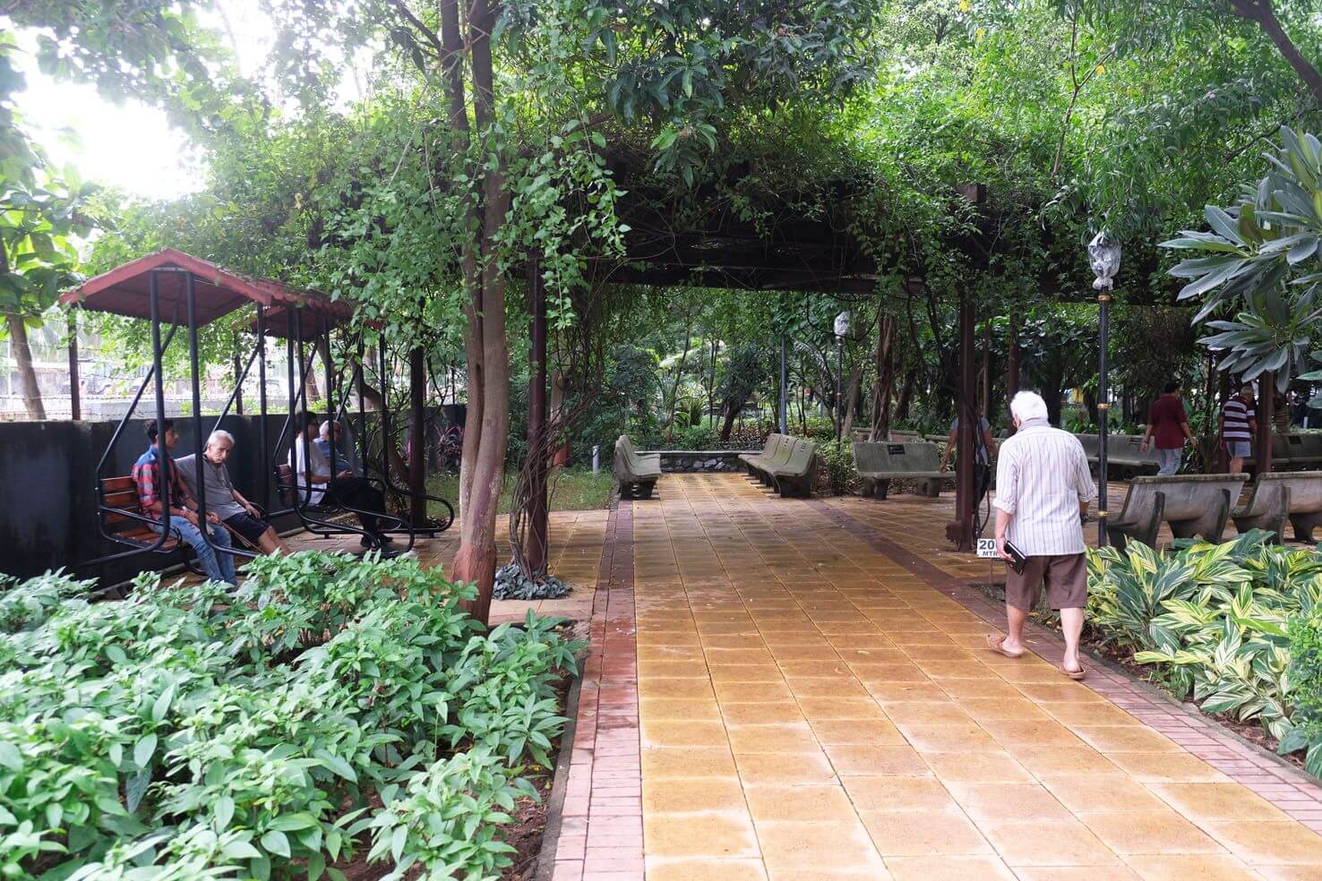
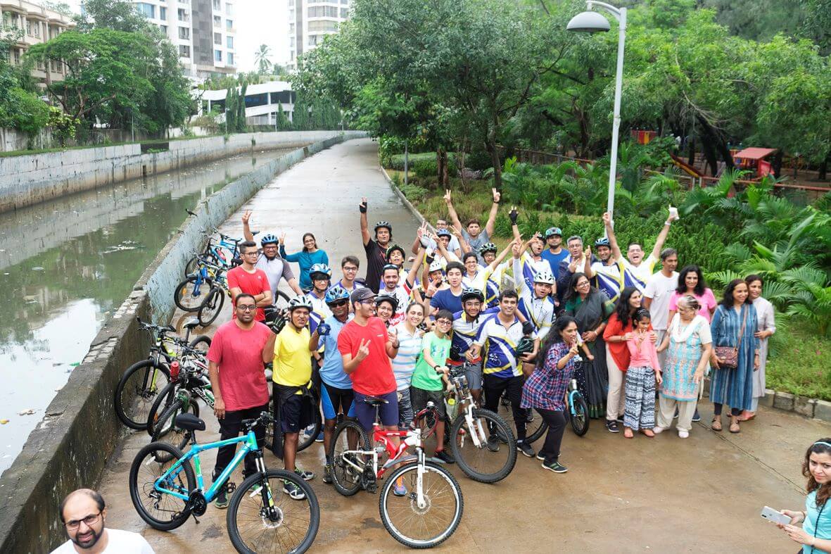
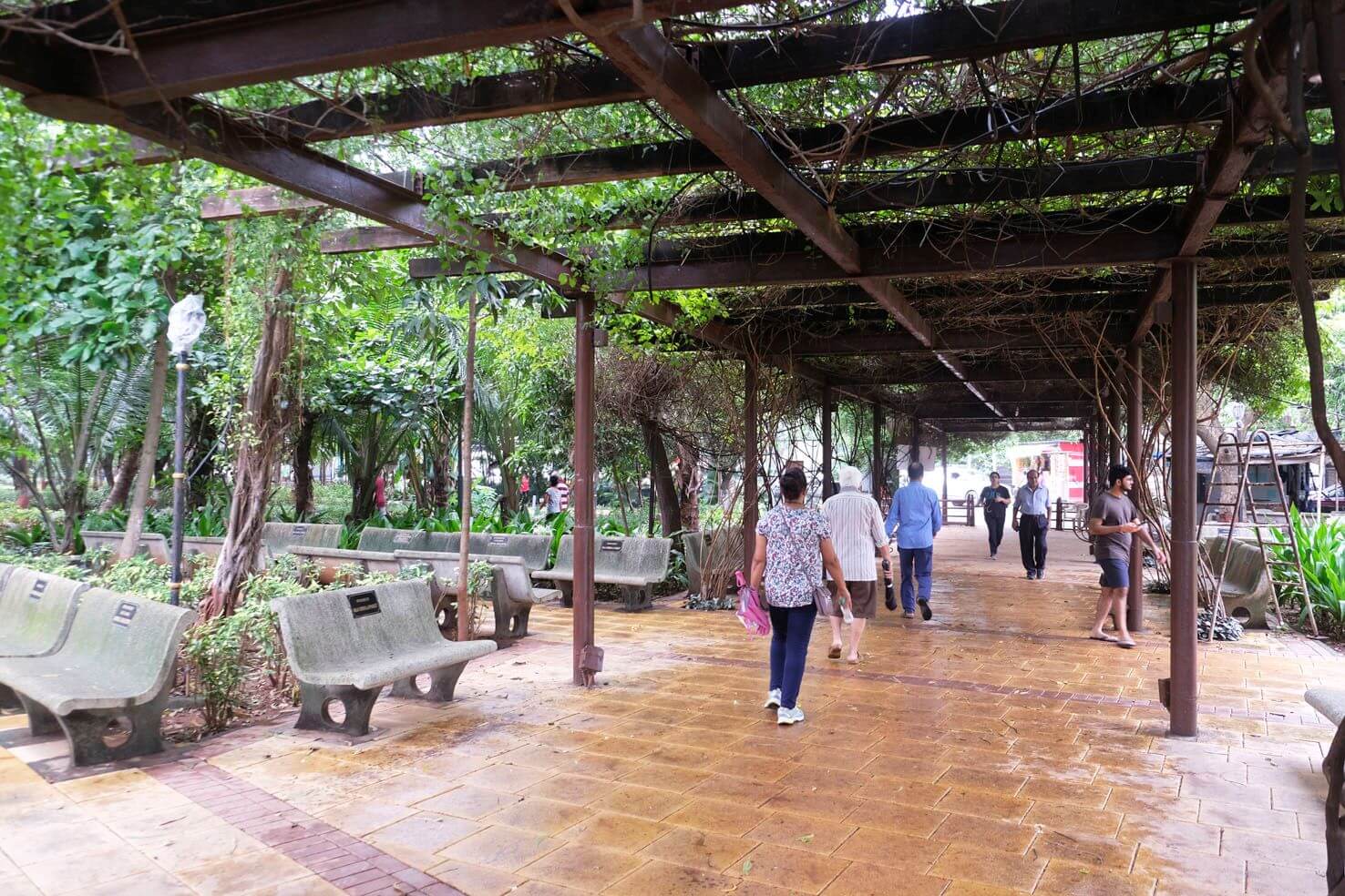
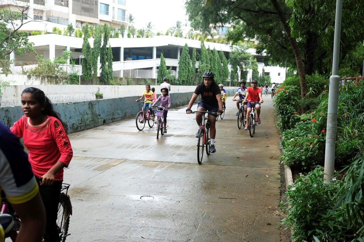
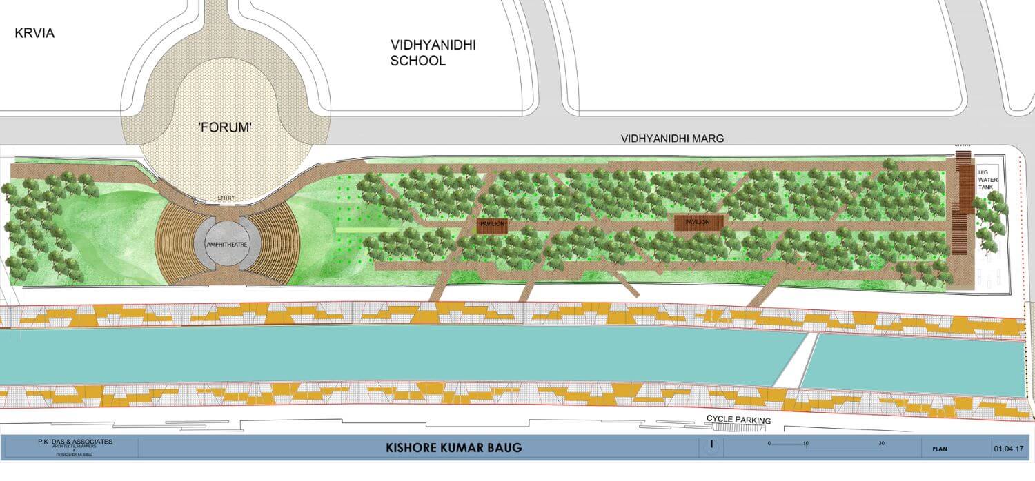
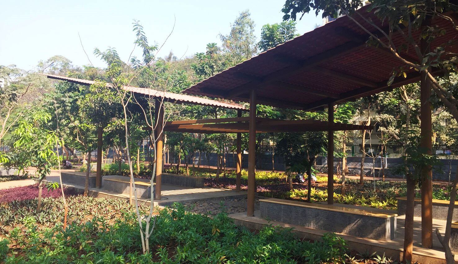
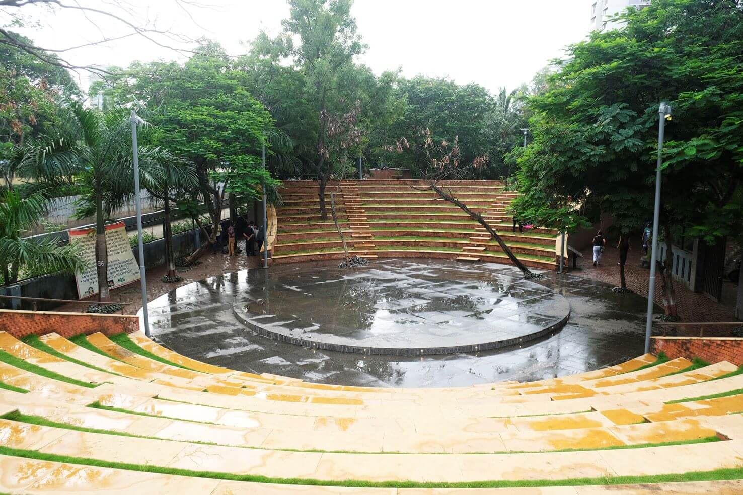
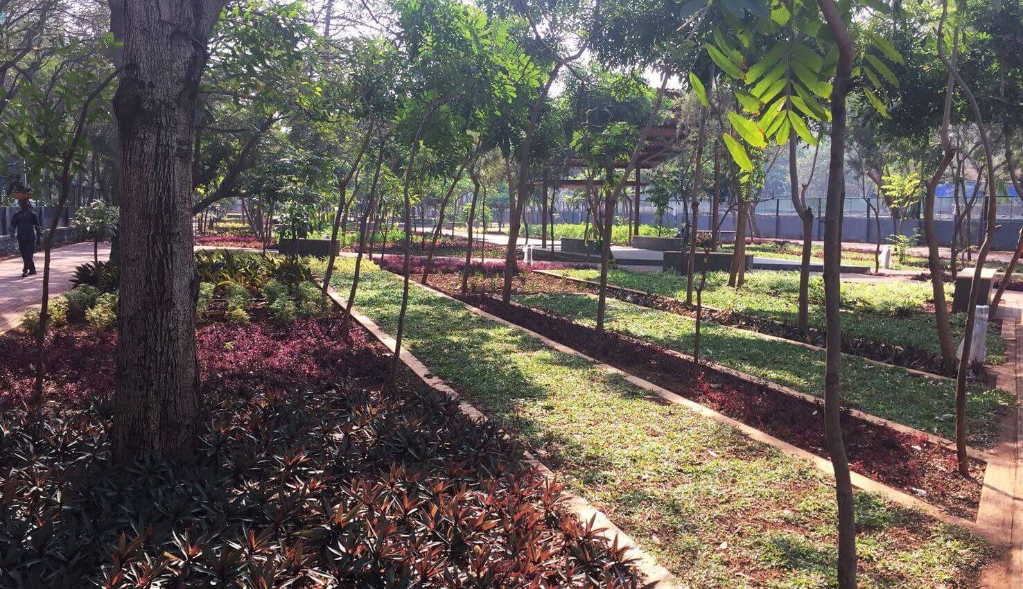
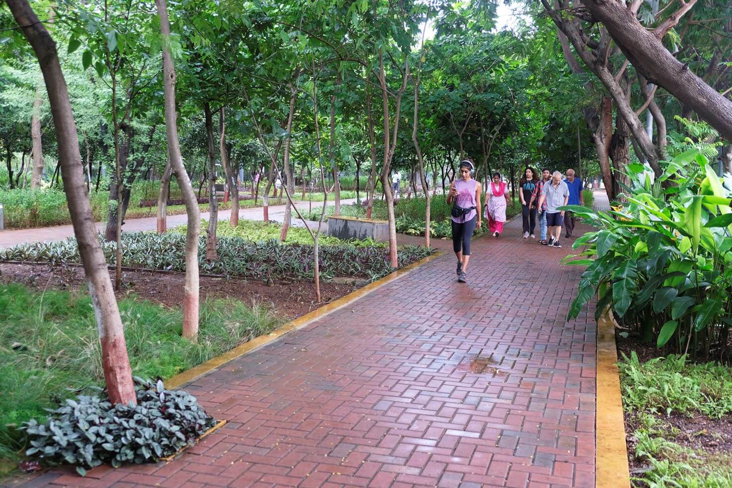
The MCGM has since also undertaken severing illegal sewer lines, cleaning up solid & liquid waste and debris, and the rehabilitation of slum-dwellers who built shanties in this 6-meter buffer zone to various redevelopment projects across the city. This buffer zone is precisely the site of intervention for the Irla nullah project. The argument made to city officials was clear: maintenance vehicles shall use this buffer space 3, maybe 4 times a year. For the other 350+ days, these spaces could be developed into public spaces which are open for all. We do not see this buffer zone as being independent from its surroundings. Therefore, the ‘Vision Juhu’ plan proposes a comprehensive view of the plethora of public spaces, natural areas and their networking.
One of the focal points of the project was the challenge of cleaning the water. These water bodies were originally built as natural and open storm water channels. Unfortunately, over the years, most of the flow in these water bodies is contributed by illegal sewage and waste water connections. There is a tremendous amount of bio-waste silt accumulation over the years on the nullah bed, which also needed to be removed to reduce the foul smell and odour of the water.
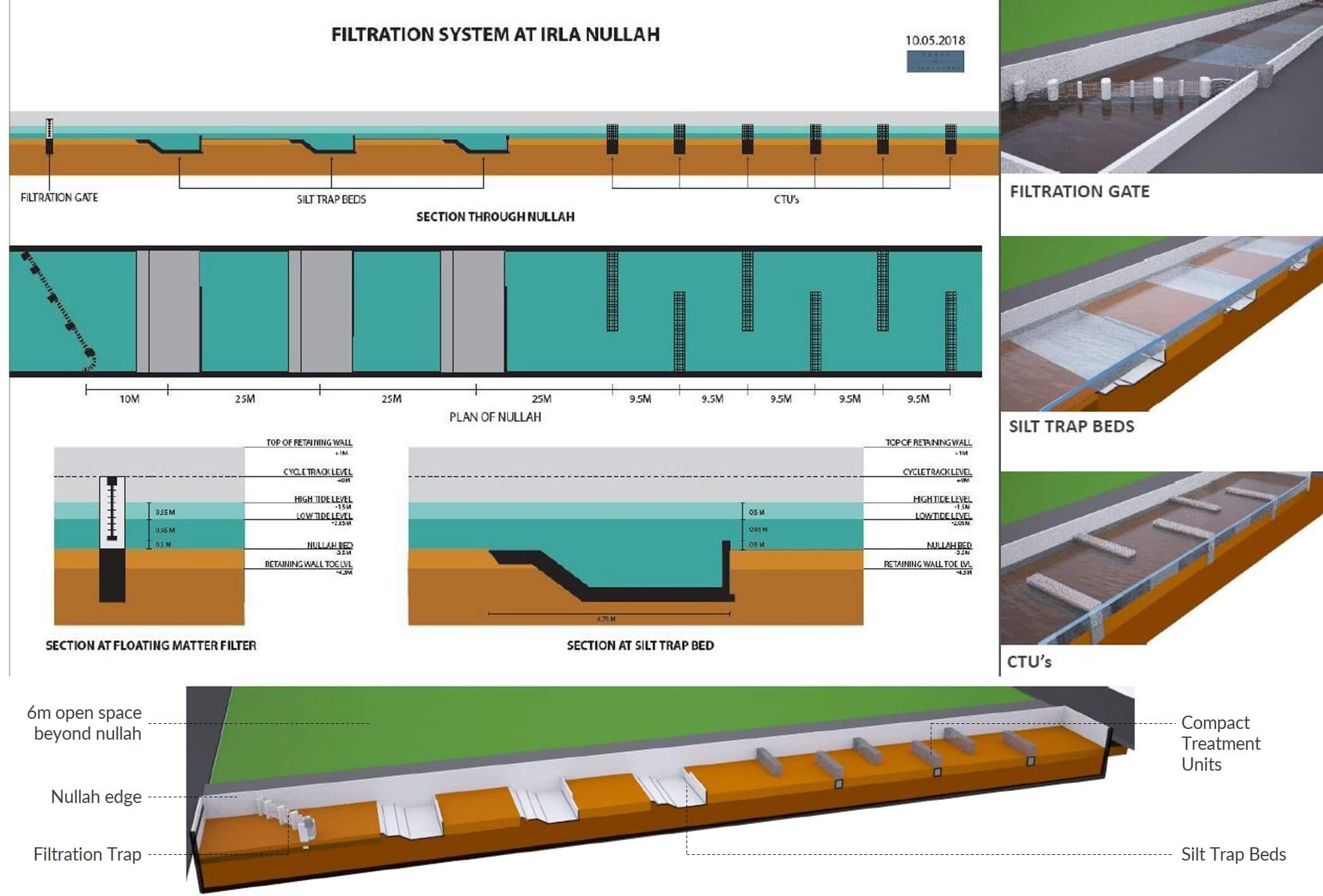
The design team worked closely with the National Environmental Engineering Research Institute (NEERI) and IIT-Bombay to develop a system for cleaning the water, comprising several elements like:
1) a floating matter filtration gate,
2) silt trap beds,
3) compact treatment units, and
4) floating beds of phytorid plants.
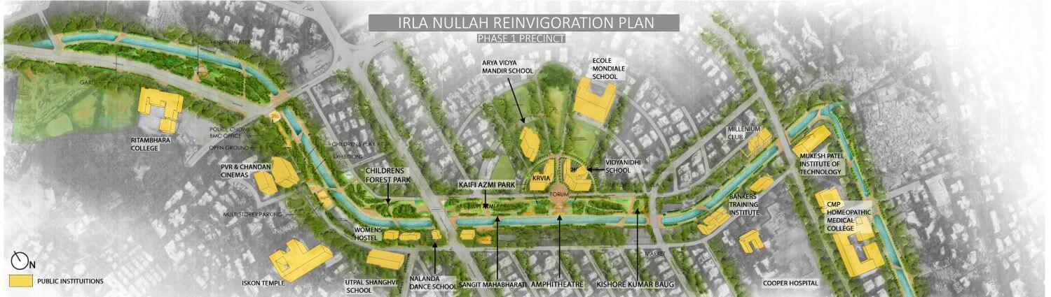
The city authorities merely looked at Mumbai’s water channel network to maximize construction and real estate interests. PKDA and KRVIA Design Cell’s initiative addresses the abuse of over 300 kms of watercourses and 140 sq. km of natural areas of Mumbai – mangroves, wetlands, creeks, salt pans, rivers, lakes, beaches, hills, and forests. The Irla Nullah Re-invigoration Plan – part of the larger Juhu Vision Plan – focuses on cleaning the waters and turning its precinct into a vibrant public space, generating rich social, political and environmental dividends.
Imagine a scenario where Mumbaikars have easy access to over 600 kilometres of landscaped walking and cycling tracks and open spaces along the watercourses that intermingle and interweave through the city’s urban fabric? This vision has manifested itself in a tangible pilot effort – the Irla Nullah Re-invigoration Project.
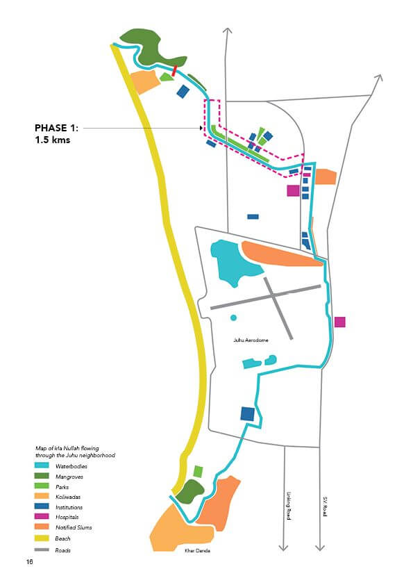
The Irla Nullah runs through the western suburb of Juhu with a total length of 7.5 kms. Owing to its geographical footprint, most areas of the neighbourhood are in close proximity to the water body. The re-invigoration proposal looks to interconnect neighbourhood amenities, institutions, and open spaces to the nullah to increase participation and improve vigilance of these public spaces.
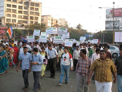
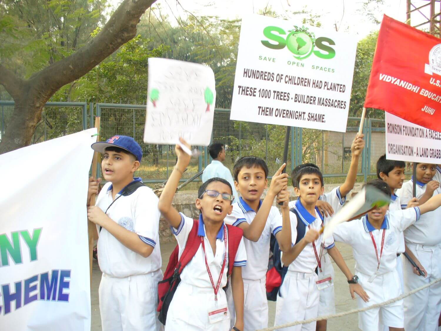
Importantly, ‘Vision Juhu’ movement and the project are a unique example of waging citizens’ struggles for exercising their Right to the City and in scripting its current and future growth and take on several challenges. These include the conservation of a vital natural asset; its integration with the neighbourhood and the city; expanding public spaces – both physically and democratically; popularising and demystifying the planning process for effective participation, primarily effecting a paradigm shift in understanding of sustainable ecology and building with nature and its benefits.